YOUR ONE STOP SOLUTION FOR PROPERTY DATA & PAPER LOT UPLOADS
Discover the ultimate resource for seamless nationwide access to parcel map boundaries, property records, and owner information, along with comprehensive market and assessed values – all at your fingertips with Landstage. Elevating your experience, Landstage introduces the groundbreaking “Paper Lot” tool, an industry-first innovation crafted to empower paper lot developers in presenting their upcoming developments.
See Landstage in action — hit play to watch our demo video.
Landstage Map View & Features
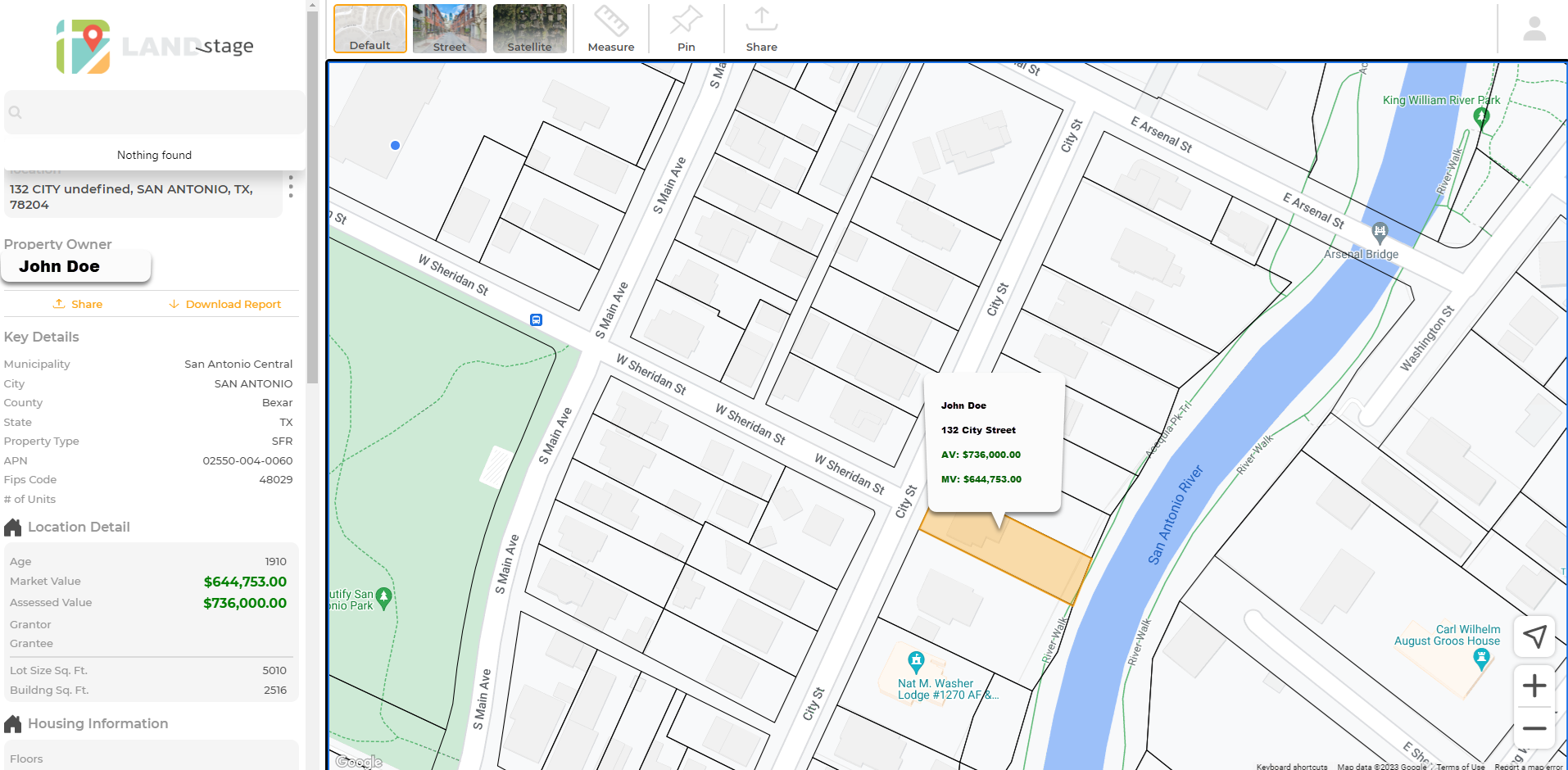
Default Display
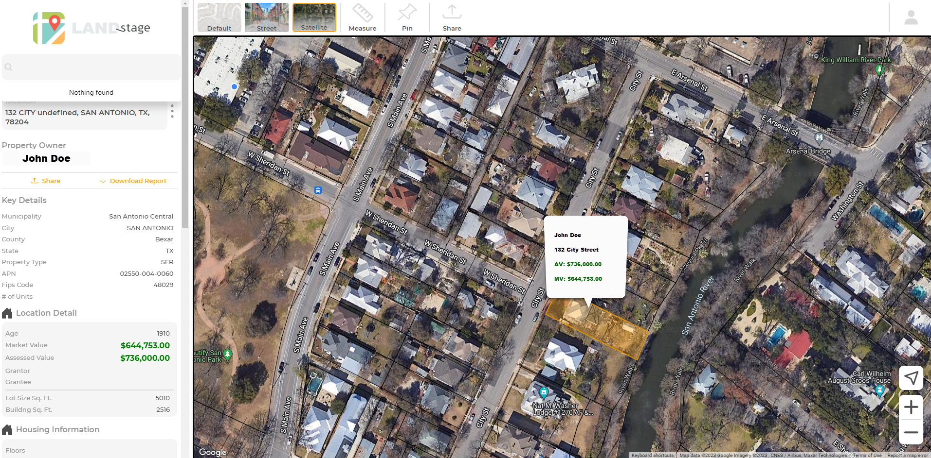
Satellite View
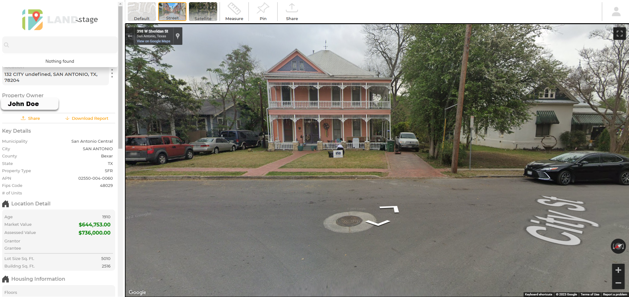
Street View
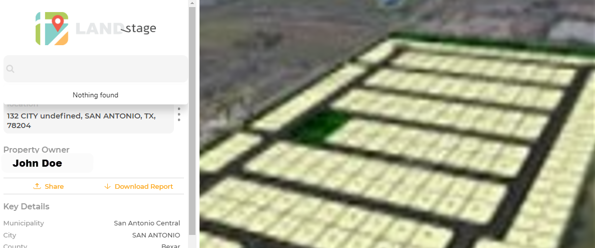
Paper Lot View
-
Check the Assessed and Market Values of any property…
-
Upload site plans for single or multiple lots
-
Share a parcel you select with others through email or messaging
-
Skip tracing capabilities for locating parcel owners
-
Create virtual boundary lines
-
Displays parcel size
Membership Levels
Services
Services Offered
- Property Address Search
- Property Owner
- Share Report
- Download Report
- Key Details:
- Municipality
- City
- County
- State
- Property Type
- APN
- Fips Code
- # of Units
- Location Detail:
- Age
- Market Value
- Assessed Value
- Grantor
- Grantee
- Lot Size Sq. Ft.
- Building Sq. Ft.
- Housing Information:
- Floors
- Bedrooms
- Occupancy
- Land Information:
- Land Use Class
- Land Use Code
- Land Cover
- Crop Cover
- Low Development
- Medium Development
- Contact Information
- Mailing Address
- School District Info:
- School District
- School Name
- Educational Climate
- Extra Information
- Legal Information
- Alternate ID
- Contact Information:
- Phone
- Paper Lots:
- Upload to Landstage App
- Download to Landstage App
- Paper Lot Details
Standard
$9.99/month
- ✔
- ✔
- ✔
- ✔
- ✔
- ✔
- ✔
- ✔
- ✔
- ✔
- ✔
- ✔
- ✔
- ✔
- ✔
- ✔
- ✔
- ✔
- ✔
- ✔
- ✔
- ✔
- ✔
- ✔
- ✔
- ✔
- ✔
- ✔
- ✔
- ✔
- ✔
- ✔
- ✔
- ✔
- ✔
- ✔
Premium
$14.99/mo.
- ✔
- ✔
- ✔
- ✔
- ✔
- ✔
- ✔
- ✔
- ✔
- ✔
- ✔
- ✔
- ✔
- ✔
- ✔
- ✔
- ✔
- ✔
- ✔
- ✔
- ✔
- ✔
- ✔
- ✔
- ✔
- ✔
- ✔
- ✔
- ✔
- ✔
- ✔
- ✔
- ✔
- ✔
- ✔
- ✔
- ✔
- ✔
Builder-Developer
$49.99/mo.
- ✔
- ✔
- ✔
- ✔
- ✔
- ✔
- ✔
- ✔
- ✔
- ✔
- ✔
- ✔
- ✔
- ✔
- ✔
- ✔
- ✔
- ✔
- ✔
- ✔
- ✔
- ✔
- ✔
- ✔
- ✔
- ✔
- ✔
- ✔
- ✔
- ✔
- ✔
- ✔
- ✔
- ✔
- ✔
- ✔
- ✔
- ✔
- ✔
- ✔
- ✔
